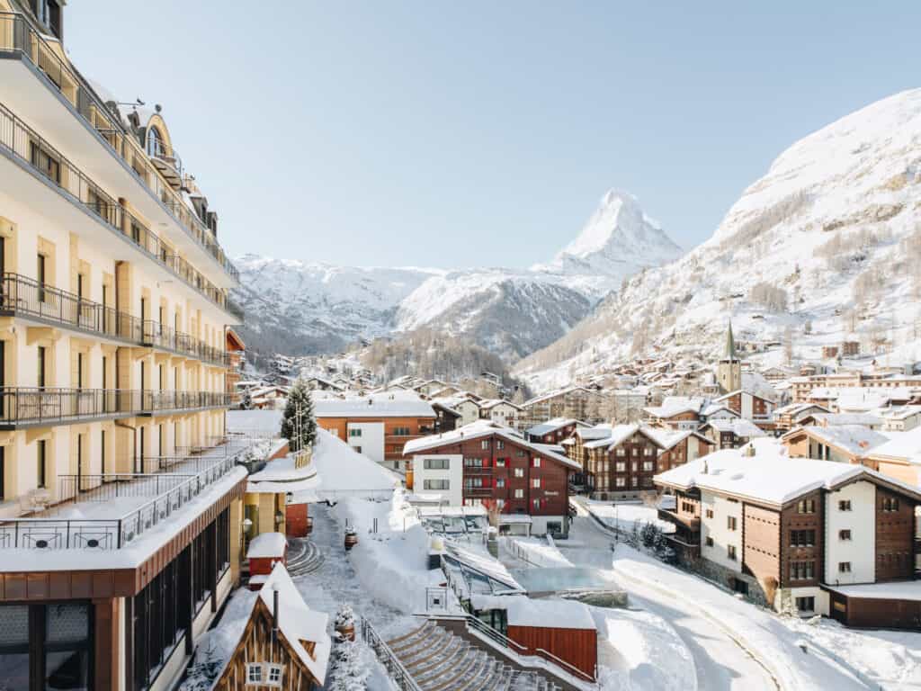
High above the Mattertal, in the heart of the Mischabels massif, rises an exceptional mountain. The Gross Bigerhorn offers hikers the opportunity to complete Europe's highest hike. Since 2024, an officially-marked hiking route has reached the Gross Bigerhorn, taking hikers to an altitude of 3,626 meters. From here, the view stretches from the Nadelgrat to the Weisshorn.
From Barrhorn to Bigerhorn: the highest hiking summit changes its name
For many years, the Üssers Barrhorn (3610 m) was regarded as "the highest hiking summit in the Alps", because it was reached by a path free of glacier material. In 2024, the opening and signposting of a new trail to the Gross Bigerhorn reshuffled the deck: the Bigerhorn surpasses the Barrhorn by around 15 metres and now lays claim to this status, at least in Switzerland - and, according to several specialist sources, on a European scale.
How difficult is it to get to the Gross Bigerhorn?
- Season: July to September, depending on snow cover (window sometimes June → October). Altitude = unstable weather: aim for an anticyclonic period.
- Scoring / marking :
- From the refuge to the summit : T3+ (boulder terrain, a few jumps), marked white-red-white since 2024.
- Full itinerary Gasenried →summit → return: Suisse Rando classifies the entire route as T4, not least because of the more aerial sections and ladders/steeps on the access to the Bordierhütte.
Prerequisites: excellent fitness, mountain feet, ability to work on scree. Depending on the time of year, snow may make the route more difficult.
Complete topo (2 days recommended)
Access
Departure from Gasenried (1659 m), above St-Niklaus (Mattertal). Take the train to St-Niklaus and then the bus to Gasenried.
Day 1 - Gasenried → Bordierhütte (2886 m)
- Time: 4 h
- Ascent: +1,230 m
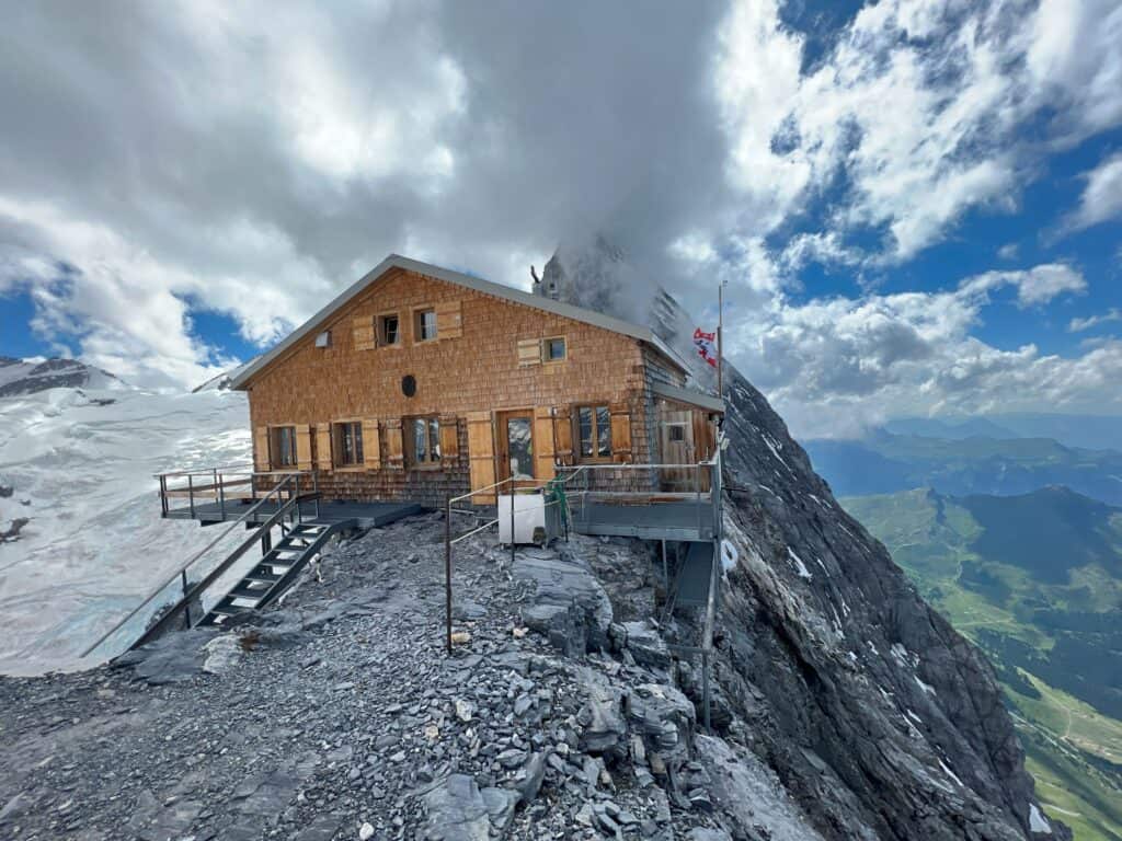
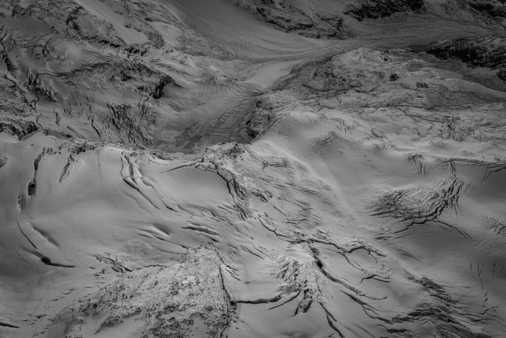
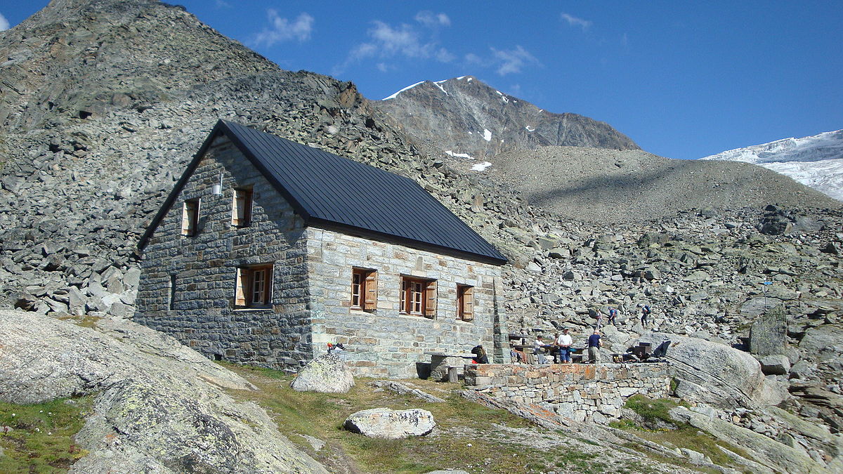
- Itinerary: first climb up to the Alpja talweg, then reach the bank of the Riedgletscher. Since 2023, a new route crosses the glacial torrent via a footbridge and follows a beautiful path (with a few steps and ladders) to the Bordierhütte. A grandiose atmosphere at the foot of the seracs.
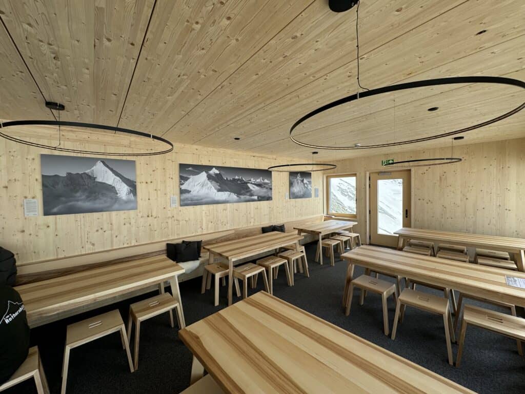
Overnight at Bordierhütte, the perfect place for a sunset. The area is often visited by ibex. Reservations essential in high season.
Day 2 - Bordierhütte → Gross Bigerhornsummit) → back to Gasenried

- Ascent from hut → summit : ~2 h 30, +740 m, T3+. We follow the white-red-white markings to a scree combe, then find ourselves at P. 3148 between Klein and Gross Bigerhorn. From here, we follow a scree slope and then the west-southwest ridge of the Bigerhorn until we reach the summit.
- Descent summit → refuge: ~1 h 40. Refuge → Gasenried: ~2 h 45 via the ascent route.
- Total for day 2: ~6 h 50.
Express variant (highly trained walkers): the climb can be completed in 1 day, but the altitude, length and exposure to the weather make it advisable to split the ascent into two stages.
Variants & itinerary ideas
- Detour to Klein Bigerhorn (3182 m): the detour takes around 15 minutes (white-blue-white markings on this short section).
- Historic glacier route: now unmaintained; glacier gear required if venturing out (not recommended for hikers). Ask at the refuge.
Landscapes: the Mischabels massif in symbiosis
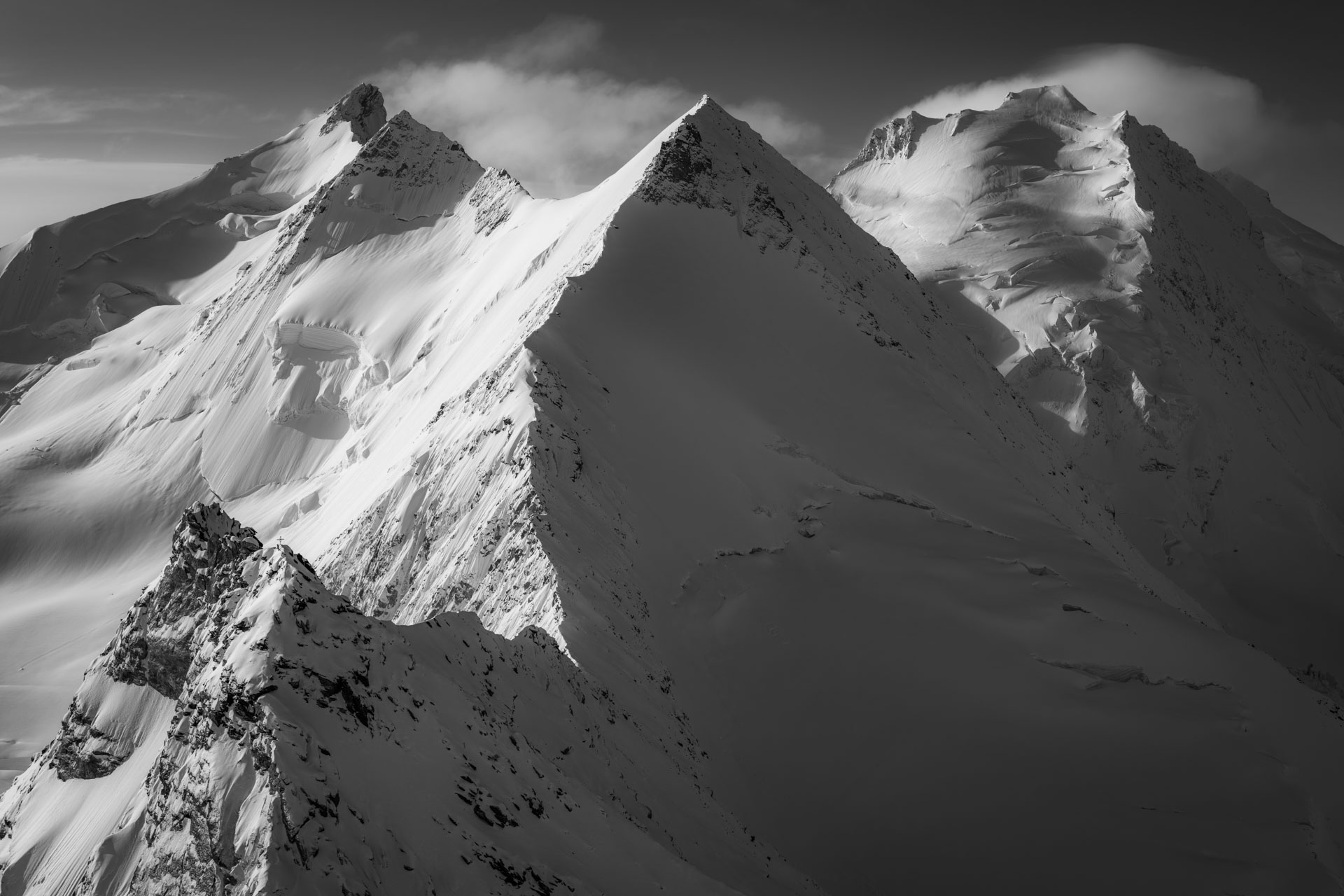
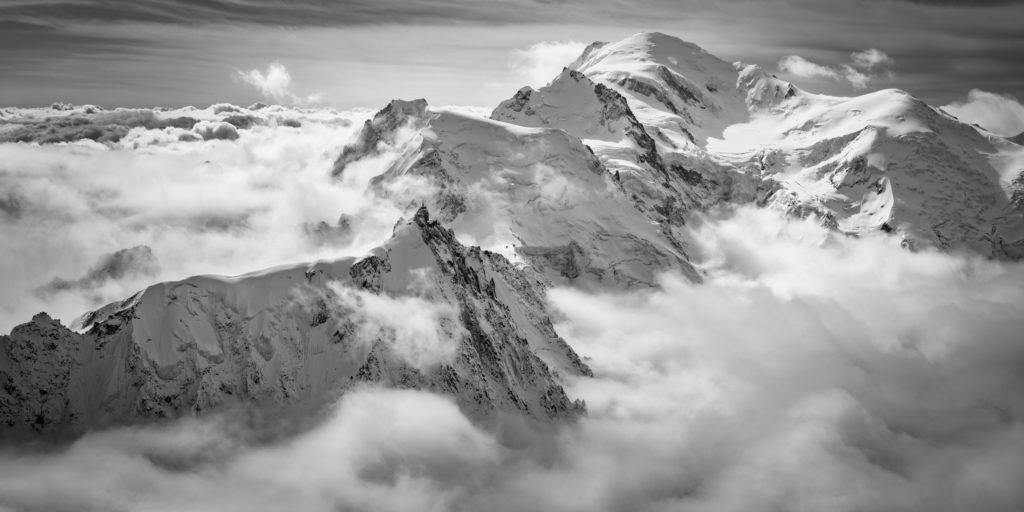
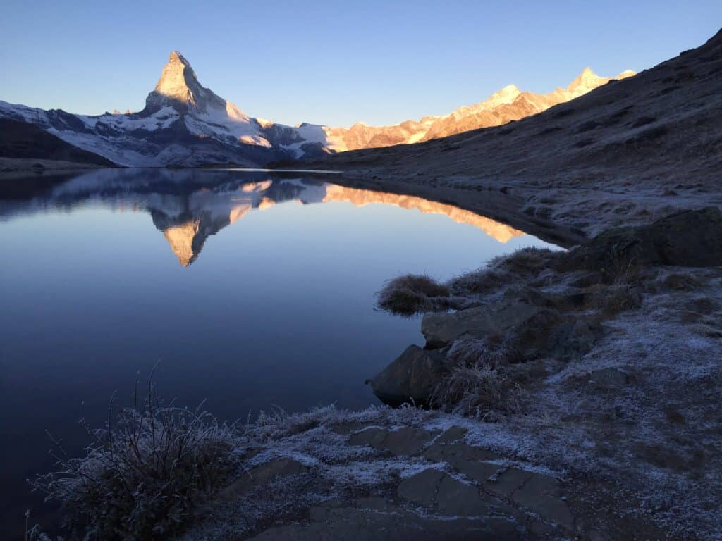
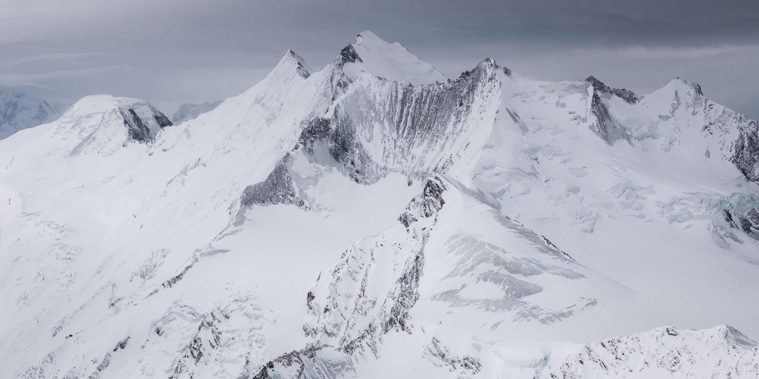
At dawn, the Nadelgrat glows pink and the Riedgletscher rumbles over the slabs. Up here, the view takes in the Mischabels massif (Dom, Nadelhorn, Ulrichshorn), then continues towards the Weisshorn and ends, in the distance, with the bernese alps.
Practical tips
- Equipment: mountain boots, poles, warm, breathable clothing (wind and cold temperatures possible in all seasons). Helmet optional but appreciated, especially on steep slopes.
- Water & supplies: limited outside the hut; self-sufficiency recommended between Gasenried and Bordierhütte, then to the summit and back.
- Weather: aim for a stable window; above 3,500 meters, thunderstorms arrive quickly.
- Ethics: stay on the marked trail, respect the signs (sensitive areas, footbridges, jumps), and preserve the spirit of the place - silence, slowness, contemplation.
Topo sheet :
- summit : Gross Bigerhorn - 3,625 metres
- Status: highest summit reached by trail in Switzerland (and most probably in Europe).
- Recommended itinerary: Gasenried → Bordierhütte → Gross Bigerhorn → return (2 days). Distance ~18 km, D+∕D- ≈ 2200 m, ~11 h total.
- Difficulty: T3+ from refuge to summit (white-red-white markings). The complete route is presented as T4 by Suisse Rando.